Deep beneath the Pacific Northwest, the ocean floor is literally ripping apart. Off the coast of Vancouver Island, scientists have caught a rare, real-time glimpse of tectonic plates breaking into fragments. This remarkable discovery shows that the oceanic plate sinking under the Cascadia subduction zone is cracking open and tearing itself into smaller pieces.
For the first time, researchers can actively observe a subduction zone in the process of a slow death. The findings offer a brand-new understanding of how Earth’s outer shell shifts, detaches, and reshapes the planet’s surface. Most importantly, this deep-sea fracturing is providing crucial clues about the ongoing earthquake and tsunami risks facing the Pacific Northwest.
How Plates Move Beneath the Pacific Northwest
The Cascadia subduction zone is a massive fault line stretching along the coast of North America. In this region, large slabs of the ocean floor, known as the Juan de Fuca and Explorer plates, are being pushed eastward. As they move, they slowly slide beneath the North American plate.
This process is called subduction, and it rarely happens smoothly. Often, the descending plates become locked against the upper continental plate. When the plates get stuck, tremendous strain builds up over centuries. Eventually, the contact point suddenly slips, triggering massive megathrust earthquakes that can reach a magnitude of 9.0 or higher.
Major earthquakes along this zone happen on average every 550 years. When the next big one strikes, the physical structure of the North American continent and the seafloor will be severely affected. Coastal land could instantly sink by as much as six feet. A sudden drop of that scale would immediately double the number of homes, roads, and people exposed to severe flooding and towering tsunamis.
Capturing an Ultrasound of the Earth
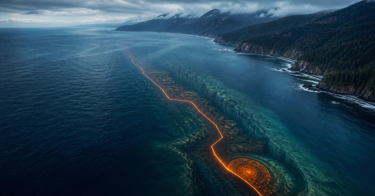
To understand exactly what is happening miles beneath the ocean, scientists needed advanced technology. They used a technique called seismic reflection imaging. This process works essentially like a medical ultrasound, but it is designed for the seafloor and the deep interior of the Earth.
The data came from the 2021 Cascadia Seismic Imaging Experiment, a major research project funded by the National Science Foundation. During this deep-sea expedition, a research vessel sailed over the subduction zone and sent powerful sound waves deep into the ocean floor.
As the sound waves bounced back, the returning echoes were captured by a massive, 15-kilometer-long line of underwater sensors trailing behind the ship. By combining these detailed echo images with tens of thousands of historical earthquake records, scientists were able to create a highly accurate picture of the Earth’s crust.
A Slow Derailment Deep Underground
The resulting images revealed a dramatic event caught in the act. Deep fractures are snapping the oceanic plate apart. The descending plate is not failing all at once, but rather tearing in stages.
Researchers describe the process as a slow derailment. Instead of a single, catastrophic train wreck, the plate is breaking apart piece by piece, much like one train car uncoupling followed gradually by another. As the plate carves itself into smaller blocks, it slowly loses its momentum.
The study, published in Science Advances, shows exactly where this split is happening. What used to be a single oceanic plate is now sliced into two distinct parts. On one side is the larger Juan de Fuca plate, and on the other is a smaller, fragmented block called the Explorer microplate.
These two pieces are separated by a narrow boundary known as a shear zone, which is about twenty kilometers wide. This exact spot aligns with the Nootka Fault Zone, an area where the crust cuts deeply from the seafloor straight down into the Earth’s upper mantle.
Understanding the Tremors and Future Earthquake Risks
While finding a tear in the Earth’s crust sounds incredibly dangerous, scientists emphasize that this does not significantly alter the hazard outlook for humans today. Some people briefly hoped that a cracking plate meant the Cascadia subduction zone was shutting down and lowering the earthquake risk. Unfortunately, that is not the case.
Parts of the plate boundary remain strongly locked together. The underlying seismic hazard is still very real, and the region is fully capable of producing catastrophic earthquakes and tsunamis. The strain is still accumulating, and the Cascadia subduction zone remains a major concern for the Pacific Northwest.
In addition to locked zones, the fault also experiences slow fault slips known as tremors. These tremors happen deep on the subduction interface, between 17 and 28 miles beneath the surface. They occur at regular intervals of 13 to 16 months. Because the movement is so slow, it cannot be felt by people or animals on the surface, but sophisticated instruments track it constantly.
Refining Hazard Models for the Future
Even though the newly discovered seafloor cracks do not remove the danger, they provide vital information for the future. Scientists are now investigating how these deep tears might influence the next massive earthquake.
One of the most important questions is whether a major fault rupture could travel directly across these newly discovered breaks. Researchers also want to know if the fractures will change the way seismic energy spreads, potentially stopping a rupture or shifting its direction.
By incorporating the exact locations of these fragmented blocks and shear zones into their computer simulations, experts can refine their models. Understanding the structural complexities of how the tectonic plates are breaking apart will ultimately help researchers better simulate earthquake behavior and prepare the Pacific Northwest for the inevitable big one.
